Reliability of 15-minute Drone Footage Volume for Estimating Traffic Flow Rates at Urban Intersections
DOI:
https://doi.org/10.37934/ard.124.1.5362Keywords:
Bandar Maharani, drone, flow rate, urban intersectionAbstract
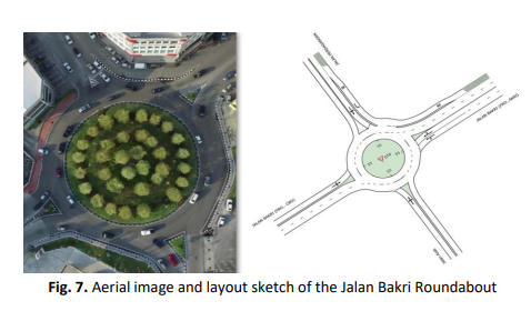
The challenging task of data collection in the realm of traffic research has posed significant obstacles, primarily attributable to time constraints and the limited availability of human resources. The quantity of samples and data acquired, as exemplified by the number of research locations in this particular case, was customarily in proportion with the accuracy and precision of a result. The current study was conducted with the aim of examining the reliability of 15-minute drone footage data, in contrast to the conventional 1-hour data collection method for traffic analysis. The study encompassed a selection of 12 signalised intersections situated in Jalan Bakri, Jalan Sulaiman/Temenggung Ahmad, Jalan Abdul Rahman, and Jalan Sungai Abong; they are located within the jurisdiction of the Muar Municipal Council in Johor. The data collection process involved a meticulous and labour-intensive endeavour spanning a duration of 13 hours, in which diligent observers manually conducted a comprehensive commuter counting exercise to ascertain the time of highest traffic volume on specific roadways. The time series data analysis identified that the peak hour occurred from 5:30 p.m. to 6:30 p.m. The benchmark value for the peak hour factor was 0.95, which the Highway Capacity Manual recommended for congested roadways. A comparison was made between the estimated flow rate derived from the 15-minute drone footage and the actual flow rate during peak hours employing the t-test. The P-value of 0.576 exceeded the significant level of 0.05, with a 95% confidence level. Therefore, the difference in means was not statistically significant. In conclusion, evidence substantiated the assertion that there was no significant difference between the results from the 1-hour data collection and the peak 15-minute drone footage.
Downloads
Downloads
Published
How to Cite
Issue
Section